
“...The day having cleared, there having been much fog, we found ourselves to be in the best port that could be desired, for besides being sheltered from all the winds, it has many pines for masts and yards, and live oaks and white oaks, and water in great quantity, all near the shore. The land is fertile, with a climate and soil like those of Castile [Spain]; there is much wild game, such as harts, like young bulls, deer, buffalo, very large bears, rabbits, hares, and many other animals and many game birds, such as geese, partridges, quail, crane, ducks, vultures, and many other kinds of birds which I will not mention lest it be wearisome. The land is thickly populated with numberless Indians, of whom a great many came several times to our camp. They appeared to be a gentle and peaceable people.”
-from The Diary of Sebastian Vizcaino, 1602-1603
-from The Diary of Sebastian Vizcaino, 1602-1603
Would you be able to find the place in California this journal entry describes? What if these details were added?

"At the end of some days [we] arrived at a fine port, which was named Monterrey. It is in latitude of 37 degrees, in the same climate and latitude as Seville. This is where the ships coming from the Philippines to New Spain come to reconnoitre. It is a good harbor...In climate, in birds and game, in variety of animals and trees, in everything it is essentially like our Old Spain."
-from A Brief Report of the Discovery in the South Sea
by Fray Antonio de la Ascension, 1602-1603
-from A Brief Report of the Discovery in the South Sea
by Fray Antonio de la Ascension, 1602-1603
| Would these maps help you to guide your journey? In the 1600s, California was thought to be an island. Do you think after 160 years you would be able to retrace these steps and find the same place? Well, it was tried. In 1602, Sebastian Vizcaino attempted to follow in the steps of Juan Rodriguez Cabrillo's 1542 journey. He also used what was learned from Sebastiano Cermeño's 1595 shipwreck on what is now known as Drakes Bay. Vizcaino was successful in locating Cabrillo's landmarks of San Diego, Santa Catalina Island, and Point Conception. He wrote a lengthy description of his discovery of Monterrey. His ships were also separated by storms at a similar spot where Cermeño ran aground. Unfortunately all of these explorers passed right by our San Francisco Bay. |  Henry Briggs 1625 map, courtesy of California Map Society  Nicolas Sanson 1657, courtesy of California Map Society |
| In 1769, Captain Gaspar dePortola was tasked with finding the port of Monterrey Bay by land using the journals of prior Spanish explorers. He left New Spain (now Mexico) in mid July and spent almost three months wandering up the coast. His expedition was traveling by land, not sea. When the group camped along the Salinas River for six days in October, they were close to their destination, but the scouts were unable to find the harbor described. Despite many of the team being ill with scurvy, they continued north. One month later, on November 4th, a crew of men climbed up a ridge to discover a large estuary. They quickly knew what they saw wasn't Monterrey Bay. Instead they thought they were looking at Bahia de San Francisco (now called Drakes Bay in Pt Reyes). The name was right, but the location wasn't. San Francisco had been officially discovered by the Spanish. |  Image from foundsf.org |

"From the summit we saw to the northwest a large bay formed by a point of land which extended a long distance into the sea, and about which many had disputed on the preceding day, as to whether or not it was an island; it was not possible at that time to see it as clearly as now on account of the mist that covered it. Farther out, about west-northwest from us, seven rocky, white islands could be seen; and, casting the eye back upon the bay, one could see farther to the north some perpendicular white cliffs. Looking to the northeast, one could see the mouth of an estuary which appeared to extend inland. In consideration of these indications we consulted the sailing-directions of the pilot Cabrera Bueno, and it seemed to us beyond all question that what we were looking upon was the port of San Francisco; and thus we were convinced that the port of Monterey had been left behind. The latitude of 37° and 33' or 35', according to the reckoning of the engineer in which we found ourselves, confirmed our opinion. .
--From the Diary of Ensign Miguel Costansó, The Portola Expedition 1769-1770
--From the Diary of Ensign Miguel Costansó, The Portola Expedition 1769-1770
Today the Portola Discovery Site is marked by a plaque up on the top of Sweeney Ridge. The campsite that Costansó writes about has become part of the Crystal Springs reservoir, San Andreas Lake. Portola and his crew ended up making their way south, finding what is believed to be Monterrey on December 10th before returning to San Diego at the end of January 1770.
 Portola's plaque |  San Andreas Lake | 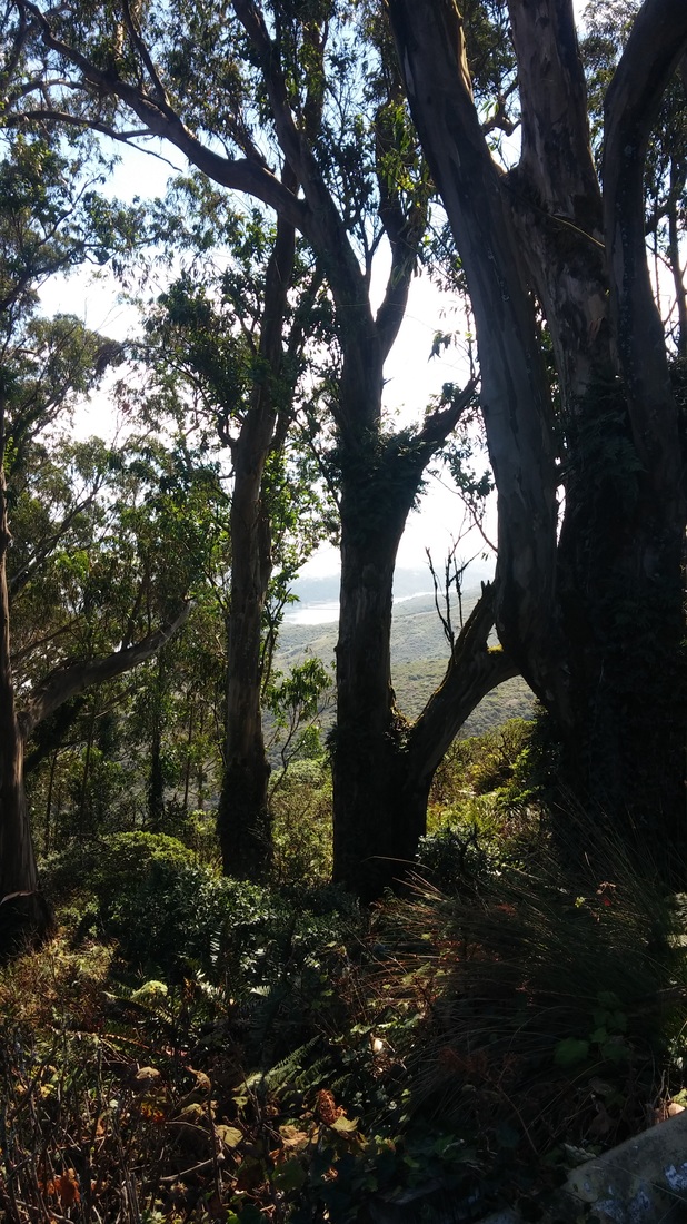 Eucalyptus trees on trail |
Needless to say, the tools of navigation have changed greatly in the past two hundred years. Modern day technology, like GPS, provides a precision and accuracy to us that was unavailable to those early explorers. They used their observation skills, journals, common landmarks, and basic location tools to find their way. Latitude and longitude was a relevantly new idea in the 1600s. It's hard to imagine accurate locations being calculated using things like astrolabes, quadrants, and cross staffs while trying to find Polaris (The North Star) in the sky and balancing equipment on the wobbly seas. Misreadings were common so mistakes were bound to happen. It's fascinating to think how a story of getting lost changed the history of the Bay Area.
Teachers? Looking for Resources?
| San Francisco Bay Discovery Site Sweeney Ridge Trail, Pacifica, CA 94044 *The SF Bay Discovery Site is located on the Sweeney Ridge Hiking Trail. The plaque is a 1.8 mile hike up to the top of the ridge. There is free parking at the trail head but no water. * There is a bathroom up at the top and a few benches as resting areas. *Sweeney Ridge can be visited as a self guided tour for individuals or families but I would not recommend going with school groups. It's a fairly strenuous hike with few resting places. The view is beautiful but I'm not sure a class of students would appreciate it. |
 RSS Feed
